
Ludlow Previous Residents Sources
Start with the present parcel and work backward through sources that answer different questions. The public GIS gives a current parcel anchor. A deed connects a transfer to legal land language. Directories and census schedules can add household context between transfers. Records have different time spans, and no single source proves every past resident. Keep the source date beside every name, because a person listed in a directory and a person on a deed may represent different roles at the address.
| Source | Years it covers | Where held | What it shows |
|---|---|---|---|
| Hampden online computer deed index | 1966 to present | Hampden recorded-land search | Grantor and grantee entries with recorded document placement |
| Hampden Registry books and records | 1731 to present | Registry, microfilm, retired books, and available online materials | Transfers, liens, mortgages, plans, and prior-title references |
| Hampden grantor and grantee indices | 1636 to 1964 | Registry historical and unindexed route | Early names and the path to a deed book; an address may be absent |
| Ludlow directory volumes | Intermittent, 1897 to 1968 | State Library print holdings | Listed name, address, occupation, and spouse or widow notation when printed |
| Federal census | 1790 to 1950 public | NARA, FamilySearch, Ancestry, and library access | Dated household, age, relationship, occupation, and residence information |
| Ludlow permits and Sanborn map | Current permits; Sanborn November 1919 | Ludlow permit records and Library of Congress | Building work or structure context, not a complete occupant list |
Begin with the GIS and a recorded deed for a recent transfer. Move to Registry research when the record calls for it, then use the nearest available directory, census, map, permit, obituary, or probate clue to test the address history. An interval with no located record should stay marked as an interval.
Start Ludlow Previous Residents With a Parcel
The Ludlow Web GIS accepts free text and presents suggestions. A selected result can expose an ID or index, complex or unit where present, owner, address, and a View Details route. Record the search wording, parcel identifier, situs address, retrieval date, and map location. The situs is the physical parcel location. A mailing address is where a tax bill or notice goes, and it can be somewhere else. Neither field alone identifies every occupant.
A parcel identifier is the most durable bridge between the GIS result, a deed, a plan, a permit, and a map. It can change after a subdivision or merger, so compare the parcel and legal description each time the trail changes shape. The map also offers layers, measurement, printing, and email-link controls. Those tools preserve a research checkpoint; they do not turn a current property card into a household register.
Note: Preserve the raw street spelling and unit value, because older directory and deed records may use a variant.
Ludlow Records Index After 1966
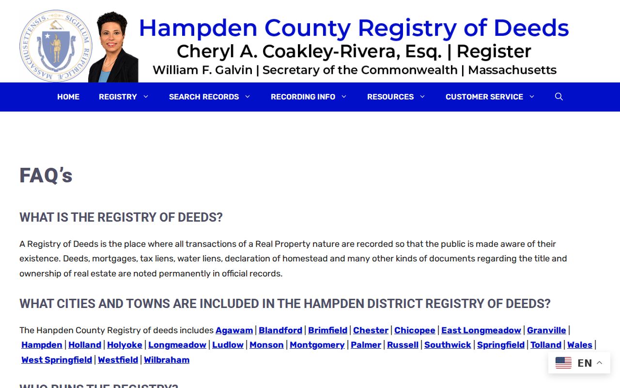
The Hampden Registry FAQ places the online computer index at 1966 to present, while Registry records reach back to 1731. Search the current owner's name with Ludlow selected and use a broad date range. For a common name, compare document type, date, co-party, parcel or legal description, and the GIS address. Open the newest conveyance that matches the parcel. A mortgage or lien is not a conveyance and should not be mistaken for a transfer of ownership.
The Registry FAQ captures the difference between the modern online index and the older research route for a Ludlow address.
Copy the grantor, grantee, recorded date, book and page or document number, legal description, plan reference, and prior-deed citation before moving back one transfer.
Ludlow Records Before 1966
The online cutoff is not the beginning of the land record. Hampden's records go back to 1731, and the Registry's history material identifies grantor and grantee indices for 1636 to 1964 as well as digitized documents advertised back to 1636. For an older Ludlow instrument, expect counter help, microfilm, retired books, or an unindexed property search. The depth of a record set does not mean that every page can be searched by name online.
A prior-title citation from a newer deed often provides the book and page needed to enter the older system. Compare the lot, plan, boundaries, and legal wording with the current parcel. An old property may be described as a lot, tract, bounds, or plan rather than by its current street number. Registered Land is also a separate Hampden Registry path, so a missing recorded-land result does not always end the search.
Note: An early index entry can guide the next document request, but it does not by itself prove address continuity.
Ludlow Records for Past Owners
A chain of title is the sequence of legally recorded transfers for the same property. The direction matters: the grantor transfers an interest, while the grantee receives it. For past residents research, a deed identifies transfer parties, not necessarily everyone who lived at the address. Use the legal description to keep the chain attached to the parcel when an old street number or street spelling changes.
- Use the current GIS result to capture the parcel identifier, owner shown, situs, and any visible legal or map references.
- Find the newest matching conveyance in the Hampden recorded-land index and copy its transfer details and prior-title reference.
- Search the seller or earlier grantor as a grantee before the later deed date. Compare the legal description and plan references, not the street number alone.
- Repeat the comparison for each earlier transfer. Where a transfer followed a death, search the decedent in Hampden Probate and Family Court records for estate-property leads.
- When the online chain ends, bring the book and page trail to the Registry's historical, microfilm, or counter route and mark any unbridged interval.
- Grantor and grantee
- The grantor gives or transfers an interest in the deed. The grantee receives it. Either role can help identify the earlier transfer.
- Chain of title
- A documented series of transfers for one parcel. It is a property trail, not a list of all household members.
- Legal description
- The lot, plan, boundary, or other formal land wording in a deed. It is more reliable than a changing street number for matching older records.
Ludlow Address Records Over Time
No official source reviewed supplied a verified Ludlow street-renumbering year or a finished renaming list. That absence is an important local limit. Search current and historic street spellings, nearby cross streets, the owner name, parcel identifier, and the deed's legal description. The town's official GIS and current tax maps were updated in 2026, while older volumes may use abbreviations or a village or neighborhood label.
Postal ZIP, situs address, and legal description are different keys. Use the address to reach a parcel, but use the parcel, plan, or boundaries to prove continuity across a different number. A plan or subdivision reference can connect an older farm parcel to the later street layout. Keep a note explaining why two entries are treated as the same place.
Note: Record the parcel, plan, and legal description used to bridge a number change before associating a household with it.
Ludlow Directory Household Records
Deeds provide only one layer of who lived here before. The State Library lists Ludlow directory volumes for 1897 to 1898, 1901, 1904, 1908, 1924, 1926, 1933, 1935, 1938, 1941, 1966, and 1968. A directory can identify a listed resident or head of household at an address and may include an occupation, spouse notation, or street section. The Ludlow city directory collections describe the shelves and how to read an entry.
Pair the closest directory year with a federal census schedule. Federal schedules are public through 1950, and Massachusetts state censuses from 1855 and 1865 can serve earlier work. The two dates are not identical snapshots. Record the directory publication year and the census enumeration date so that an apparent change remains dated rather than assumed.
- Choose the directory year closest to the deed or permit date and transcribe the name and address exactly.
- Check the surname arrangement and, if present, the street section for initials, boarders, or a number variation.
- Compare the closest census household for relationship, age, occupation, and residence context.
- Use an obituary, cemetery record, town report, or probate file to test a move or death suggested by a later absence.
A directory entry can name a renter or a head of household even where a deed names an absent owner. That is why ownership history and past residents should stay as two labeled trails.
Ludlow Records Map and Library
The November 1919 Ludlow Sanborn map has five sheets. It can show whether a building footprint or street setting existed at that time and can help orient a directory address. It cannot name an occupant. Use it with a deed or directory date, not as a stand-alone answer to who lived at a property.
The Massachusetts State Library genealogy and house-history guide points researchers to directories, town reports, newspapers, and related collections.
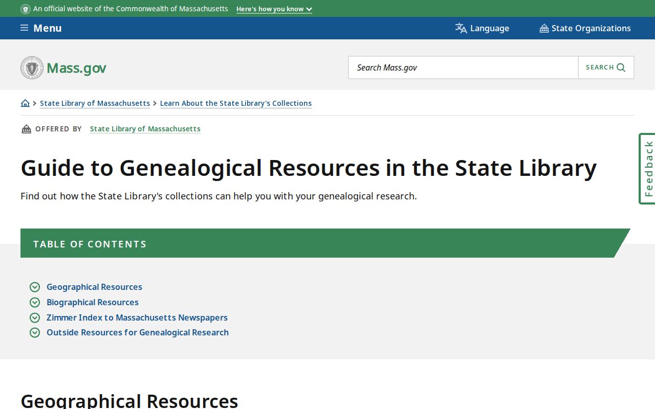
The State Library genealogy guide is a collection route rather than a promise of a specific Ludlow shelf or call number. Hubbard Memorial Library provides local-history and genealogy assistance and can be asked about town reports, local newspapers, cemetery records, directories, and house-history files.
Ludlow Previous Residents Have Gaps
Ludlow was incorporated in 1774. For the earliest periods, the search may move through town, church, land, meeting, tax, cemetery, probate, or manuscript sources. No single Ludlow-wide online index was located for the earliest era. Records from 1841 through 1935 can lead to the Massachusetts Archives vital collections, while later records route to local clerks or the Registry of Vital Records and Statistics subject to access rules. Vital records can link family events but are not a substitute for a deed or directory trail.
Building permits may date construction, alteration, demolition, conversion, or an applicant's connection to a property. Ludlow's current PermitEyes route is known, but the public historical permit depth was not published. A date with no located directory, permit, or map should remain a documented gap. That makes later research easier to test and avoids turning a partial record into a claim about a household.
Lawful personal research. Use Ludlow house-history and family-history records carefully. Do not use a past-resident trail to stalk, harass, or track a living person; the records leave gaps and do not create a complete household list.