
Trace a Ludlow Street by Address
A Ludlow street search works best as a chain of dated records. The town GIS supplies the present parcel anchor. Its owner field identifies the current assessment owner, which may differ from the person receiving mail or using the property. The Hampden Registry then supplies the recorded-land trail. A historical directory may show a household at the address in a particular publication year. Treat each result as evidence for its own date and purpose, not as proof of a current household.
- Enter the street number and street name in the Ludlow GIS, select the suggested parcel, and record the input, retrieval date, situs address, parcel ID, and any unit or complex value.
- Keep the current owner field separate from a tax mailing address. Either field can be useful for a record search, but neither establishes every occupant.
- Use the owner and parcel details to locate the newest matching deed in the Hampden recorded-land index. Copy the book and page or document number, recording date, legal description, plan reference, and prior-title citation.
- Follow the prior deed reference backward, matching legal description and plan details rather than trusting a similar street number alone.
- For a historical household question, check the nearest available directory year by surname and street section. The voter-status form is only for an individual who supplies the required name, birth date, ZIP, and agreement.
That order keeps the street directory focused on address-keyed evidence. It also leaves a clear note when a result is missing, protected, or tied to a different time.
Search Ludlow Streets in the GIS
The Ludlow Online GIS Property Viewer is a map-first tool. Its main field accepts free text and presents suggestions as a street number, street name, or another supported property term is entered. Choose the matching result before treating any visible owner or address field as tied to the intended parcel. The public material does not document a separate global owner-name form, so a name-only question belongs with the Assessor or a focused records request.
| GIS field or tool | How it appears | Street-search use |
|---|---|---|
| Main search | Free text with autocomplete | Enter a known street number and name, then inspect suggestions. |
| Result identity | ID, index, complex, unit, owner, address | Preserve the returned parcel identity and unit before moving to another record. |
| Parcel details | Selected result or map card | Check the present situs and property facts. |
| Layers and identify tools | Optional map controls | Place the parcel in its physical street context. |
| Abutter controls | Distance, Adjacent, Find Abutters | Build a reproducible nearby-parcel set, not a social roster. |
| Print labels or export report | Output controls | Save a dated research snapshot after recording the settings. |
Parcel selection can expose current owner, situs, parcel identifier, property characteristics, value or exemption fields, and geometry. Exact labels can vary on a live card. A tax roll is not a household list, and the viewer’s geometry is not a legal survey.
The public GIS viewer shows the search-and-map interface used for Ludlow address research.
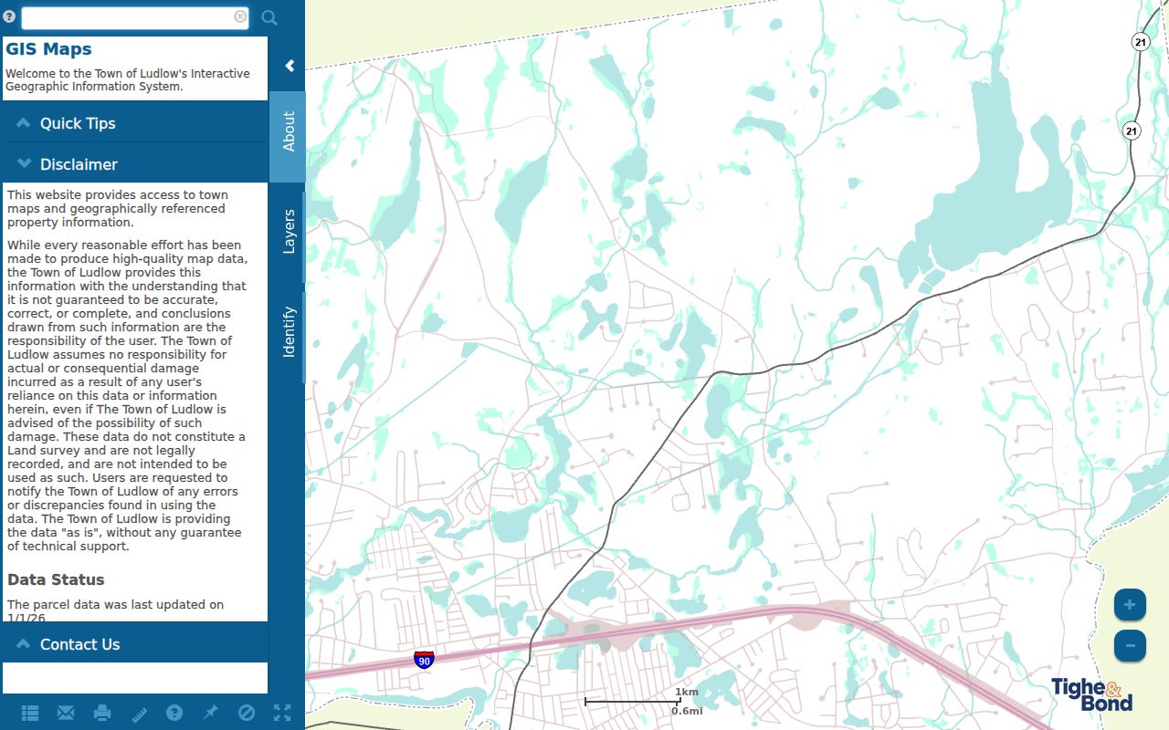
Use the visible parcel result as a starting point, then record the retrieval date before comparing it with a deed, permit, or older directory entry.
Note: The public GIS does not document a separate global owner-name search form for Ludlow properties.
Ludlow Address Record Paths
Several custodians keep records that can be tied to an address, but they answer different questions. The address evidence below distinguishes location, ownership, historical household context, and municipal work records. It does not turn one search into a complete list of people at a property.
| Address record | Custodian | What the record can show | Available route |
|---|---|---|---|
| Current property card and GIS parcel | Ludlow Assessors | Owner, situs, parcel ID, map facts, and some assessment fields | Free GIS, office, phone, email, or focused request |
| Tax commitment | Ludlow Treasurer and Assessors | Map or parcel, owner, situs, values, exemption, tax, and installments | Town documents or records request |
| Recorded deed or plan | Hampden Registry of Deeds | Grantor, grantee, recording placement, legal description, and title references | Online index and images, counter, microfilm, or older-book route |
| Permit or code file | Ludlow Building, Health, Planning, or Public Works | Site address, applicant or owner, work, issue date, status, and inspections where held | PermitEyes, forms, or request for existing older files |
| Directory street section | Massachusetts State Library and local collections | Dated household or street entry when a volume includes Ludlow | Print, catalog, library, or reference route |
| Voter-status check | Massachusetts Elections Division | An individual’s submitted registration-status match | Name, full birth date, five-digit ZIP, and agreement required |
Use the parcel ID to make the GIS, deeds, abutter reports, permits, and maps easier to compare. The street name is useful, but a number can change and a street can be abbreviated differently in older sources.
Ludlow Address Keys for Streets
Keeping the record keys separate prevents a common street-directory error: treating a mailed tax notice, a parcel location, and a legal land description as the same fact. Carry all of them forward when the address is old, split into units, or linked to a subdivision plan.
- Parcel ID
- The map or assessment identifier for a parcel. It is the practical handoff from the GIS to an abutter request, permit file, or deed comparison.
- Situs address
- The physical property location used by municipal mapping, assessment, and emergency-address work. It can differ from the owner’s mailing address.
- Plat or recorded plan
- A map or plan reference in land records that can connect a lot or boundary description to the current street location.
- Criss-cross directory
- A directory section arranged by street or address rather than surname, when the volume includes one. Its entries remain tied to that publication year.
A deed may describe a lot, plan, metes-and-bounds boundary, or prior number instead of the current street number. The legal description is often the better bridge when a street label no longer matches.
Ludlow Street Parcels and Abutters
The Ludlow GIS has a useful local feature for address research: an Abutter Distance control, an Adjacent option, and Find Abutters. Search the anchor address, open the selected parcel, choose the distance or adjacent setting, and inspect the returned parcels. Add Parcel and Remove Parcel let a researcher compare more than one anchor, while Print Labels and Export Report can preserve the result.
Record the anchor parcel ID, search date, setting, and each returned parcel ID before exporting. A measured buffer is selected by the user, not an official neighborhood boundary. The returned parcels may share an edge or be nearby on the map, but that does not establish friendship, household membership, or a shared mailing address.
Ludlow Street Deeds and Title Links
The Hampden Registry is the legal-record pivot after a parcel has been selected. Search the current owner and, where supported, the property route, then open the newest conveyance that matches the legal description. Capture the grantor and grantee, recording date, document number or book and page, plan reference, and prior-title language. A mortgage, lien, or homestead may add title context, but it is not automatically a change of owner.
The Hampden recorded-land search is the online entry for a matched Ludlow parcel and owner.
Match the resulting instrument to the parcel’s legal description before placing it in a street-by-address timeline.
The Registry reports computer indices online from 1966 forward, while its land records reach to 1731. For earlier work, the fallback is the unindexed property search, microfilm, retired books, or the public counter. The Registry also reports grantor and grantee indices for 1636 through 1964 and digitized documents advertised back to 1636, so the index and image dates should not be treated as one uniform coverage line.
The Registry FAQ explains the computer-index cutoff and the older-book, microfilm, and counter routes.
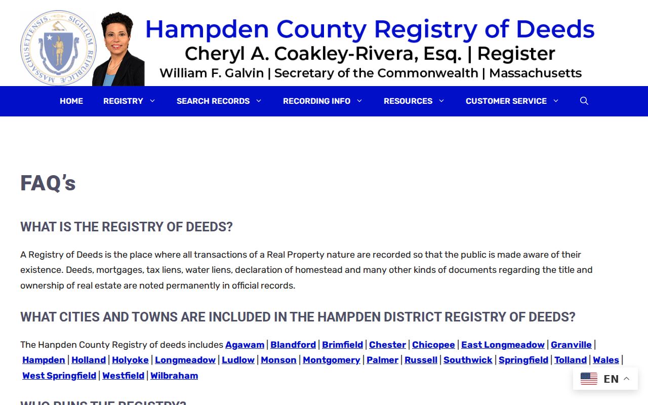
When an online name search ends, a known book and page or title reference makes the older Registry route much more precise.
Note: The Registry’s computer-index and image dates differ, so check the record type and access route.
Read a Ludlow Street Block
Historical street reading is strongest when the nearest available directory volume is searched two ways: first by surname or initials, then by the street or house guide if that volume has one. Read the nearby numbers as well as the target number. That can reveal an abbreviated street name, a boarder, a second household, or a move along the same street. It also makes a missing entry visible instead of silently turning it into a conclusion.
The State Library lists Ludlow directory runs for 1897–1898, 1901, 1904, 1908, 1924, 1926, 1933, 1935, 1938, 1941, 1966, and 1968. Those are intermittent snapshots, not an annual series. The historical volumes and their notation are covered in more detail in the Ludlow city directories collection.
Pair a directory year with a deed, permit, obituary, town report, or census record where appropriate. A directory entry can identify a renter or household head even when the deed names an owner who lived elsewhere.
Check Ludlow Street Number Changes
No official source reviewed for Ludlow supplied a dated townwide renumbering project, a completed street-renaming list, or an address-alias table. That gap matters when a historical address listing appears to disagree with a modern map. Do not assume that a changed number proves a different parcel, or that two similar numbers identify the same house.
Compare the current and historic street spellings, the nearest cross street, the GIS situs, owner history, parcel ID, deed legal description, plan reference, and abutting boundaries. The current GIS and tax maps were uploaded or updated in 2026, while older directories can use abbreviations or village labels. Postal ZIP, situs address, and legal description are separate keys.
Note: No verified Ludlow street-renumbering or annexation list was located in the reviewed official sources.
Check a Ludlow Street’s Precinct
Election geography can help place a street in a civic area without producing a public resident roll. Ludlow has six precincts, with locations at Harris Brook Elementary, Paul R. Baird Middle School for Precincts 2 and 6, Ludlow High School, East Street School, and First Church Center. The town election materials include a street index and precinct information. A street-to-precinct result says where voting administration applies, not who is registered at an address.
The Massachusetts voter-status form requires first and last name, birth month, day and year, a five-digit residential ZIP, and an agreement. It is intended for an individual to check their own status, not for a street-by-street export. For a broader existing election record, ask the Town Clerk what version is releasable, which fields are protected, and what format is available.
The individual voter lookup displays the required identity and agreement fields.
The form’s required inputs show why a ZIP or street alone cannot identify a Ludlow voter.
For mailing verification, USPS pairs Ludlow with ZIP 01056, but postal geography is not a legal town boundary. Verify a complete delivery address through USPS rather than using the ZIP as proof of parcel continuity.
Test a Ludlow Street in 1919
The 1919 Ludlow Sanborn map has five sheets and can test whether a building footprint, street alignment, or industrial use existed at that time. It is especially useful when a deed or directory leaves a long gap. The map cannot name an occupant, and it should not replace a parcel, deed, or dated directory record.
Compare the sheet’s street context with a plan reference, older street spelling, and current GIS parcel. That keeps the historical map in its proper role: physical continuity evidence rather than a resident directory.
Request a Ludlow Street Record
When an address-keyed municipal record is not online, ask for an existing record, not a newly compiled street list. The Ludlow public-records portal provides the local guidelines and Records Access Officer route. Identify the address, parcel if known, record type, date range, custodian, and whether inspection, electronic delivery, or paper copy is wanted. Building, Health, Planning, Public Works, the Assessor, and the Town Clerk each control different record sets.
Massachusetts Public Records Law, G.L. c.66 §10, does not require the town to create a new database or answer an open-ended research question. Ludlow’s guidelines allow requests in person, by first-class mail, or electronically. A written response is due within ten business days when the town cannot complete the request, and the guidelines describe a typical complete response within 25 business days, subject to the stated extension process. Exempt or protected fields may be redacted.
Note: A focused request should identify an existing record and date range rather than asking for a new list.
Ludlow Street Record Boundaries
An address record can establish a parcel, a recorded ownership event, a dated directory entry, or a precinct setting. It cannot establish a complete household roster. Utility and delivery customers, household members absent from a public source, protected voter addresses, sealed material, and private social relationships are outside this record trail. A current property card is not a household register, and a street section from an old volume is not evidence of the present.
The Massachusetts Address Confidentiality Program may allow qualifying people to use a substitute address and mail-forwarding service. A protected or redacted result is a legitimate records gap. Preserve that limit and ask the responsible custodian about correction, redaction, or access procedures.